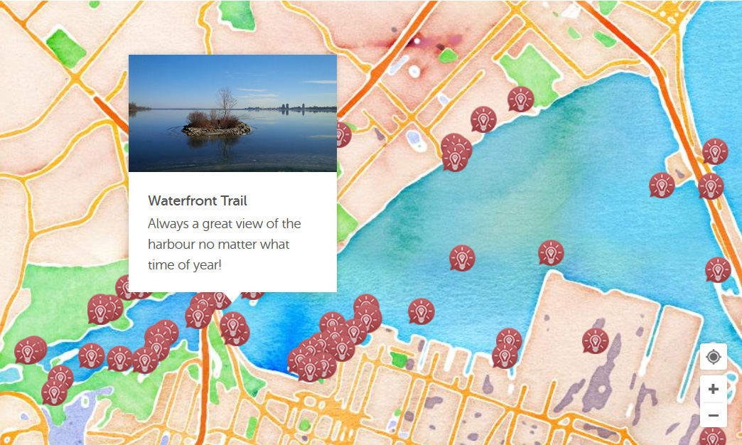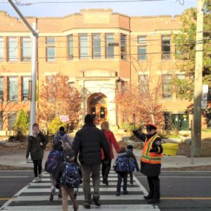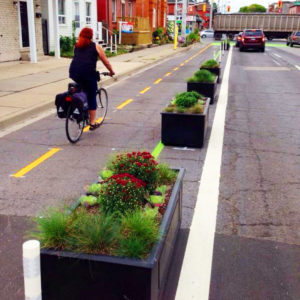
PlanLocal offers a detailed view of how people use spaces, whether its roads, parks, or trails. Clear outcomes provide insights into where people travel, how they move through this space, why they choose the routes they do, and who is moving through this space. Various tools are deployed to collect concrete data that is then clearly reported to better inform planning and decision making.
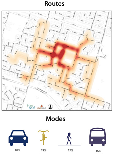
Route Mapping
Learn how people get from A to B, why they take a specific route and what they encounter along the way.
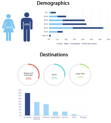
Outcomes provide a collective look at how people navigate space, which can be used to inform a variety of transportation planning initiatives.
Experience Mapping
By sharing individual experiences, understand how people collectively interact with space, both what they do and where they do it.
Aggregate data provides a more complex picture of how a community actually uses its spaces to better inform future planning.